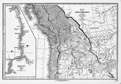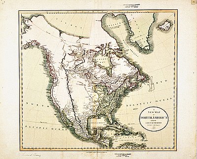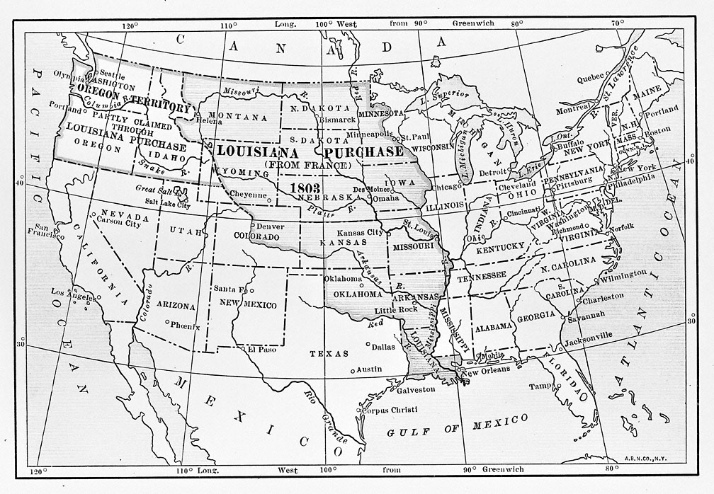
This map was published in a 1911 book titled Louisiana Under the Rule of Spain, France, and the United States. Maps like this appear on the walls of classrooms around the United States, but they can be misleading if read too literally. This map purports to show a large section of central North America, labeled “Louisiana,” that was “purchased” from France by the United States in 1803. The boundaries are clearly delineated, and there is no indication to suggest that the “purchase” was contested in any way, or that there were other parties involved besides the United States and France. It would appear to describe simple objective cartographic reality.
However, when taking a closer look at the cultural assumptions of maps like this, the simple objective reality becomes much more complex and subjective than first meets the eye. “Cartographic facts,” geographer Brian Harley argues, “are only facts within a specific cultural perspective.” That is, maps such as these are symbolic representations heavily influenced by the cultural assumptions of the cartographer. Other cartographers from different cultural backgrounds—American Indian, for example—would produce very different maps.
One of the fundamental cultural assumptions of this map is the notion that European powers had the right to buy and sell Native lands without any involvement of Native peoples. The map has no indication of the fact that most of the land labeled “Louisiana” was in fact a complex mosaic of Native territories, ranging from the Natchez of the Mississippi River Delta to the Osage of the central Plains to the Blackfeet of present-day western Montana.
From a Native perspective, France had no right to sell Native lands in 1803, nor did the United States have a right to buy them. Many Plains tribes, for example, vigorously contested American expansion into their territory. The decades of warfare between these groups and the United States is a clear indication of the fact that many Native peoples did not accept the idea that the United States had legally acquired their lands in the 1803 treaty with France, an underlying assumption of maps such as the one reproduced here.
Further Reading:
Harley, Brian. The New Nature of Maps: Essays in the History of Cartography. Baltimore, Md., 2001.
Written by Cain Allen, © Oregon Historical Society, 2004.